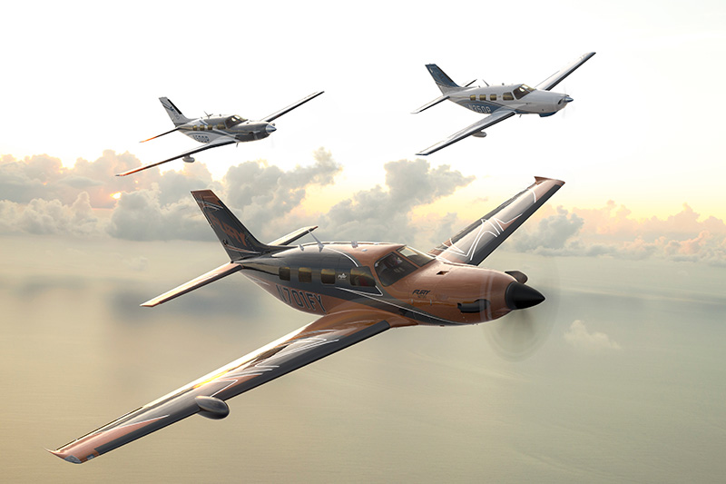
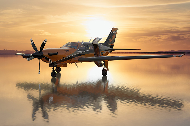
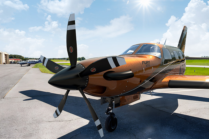
Meet the new Piper M700 Fury, the first in a new generation of the Piper M-Class family, featuring the powerful Pratt and Whitney PT6A-52 engine, producing 700 shaft horsepower and Garmin’s innovative technology, including Autoland.
 |  |  |
|---|
|
|
View the Piper M700 spec sheet

- Autoland: If necessary, HALO takes over the controls and guides the aircraft to the nearest runway for a precision landing. Automatically activates when autopilot is in LVL mode for two minutes or when Emergency Descent Mode is activated at 14,000 feet. Can also be engaged manually by a guarded switch on the instrument panel. GFC 700 Autopilot with Advanced AFCS Fully integrated flight control system for exceptional flight automation with a dual AHRS-based system. Seamlessly integrates a flight director, autopilot, automatic trim and yaw damper into the G3000 suite.
- Automatic Level Mode: Returns the aircraft to a wings-level attitude with zero vertical speed at the push of a button.
- Autothrottle: The M600SLS includes a fully integrated, standalone auto throttle, which reduces the pilot workload. The single-lever autothrottle automatically adjusts the aircraft’s power settings based on the preset flight profile – from climb-out to the landing approach.
- Hypoxia Recognition System with Automatic Descent Mode: Monitors pilot interaction when autopilot is engaged at cabin altitudes above 14,900 feet. If needed, the system brings the aircraft to a lower altitude to allow recovery from hypoxia.
- SafeTaxi®: A highly detailed, georeferenced airport map that displays your aircraft’s position on the airfield. Also shows an overlaid map of hold short lines.
- TerminalTraffic™: Syncs with SafeTaxi maps to display all ADS-B equipped aircraft and ground vehicles for increased situational awareness.
- SurfaceWatch: Its clear visual and aural cues direct you to the correct runway on takeoff and approach.
- Flight Stream 510: A wireless gateway that streamlines your workload by connecting preflight planning to your mobile device from the G3000 avionics system.